BioFinder: An Interactive Mapping Tool for Conservation Planning in Vermont
Feb. 24th 2020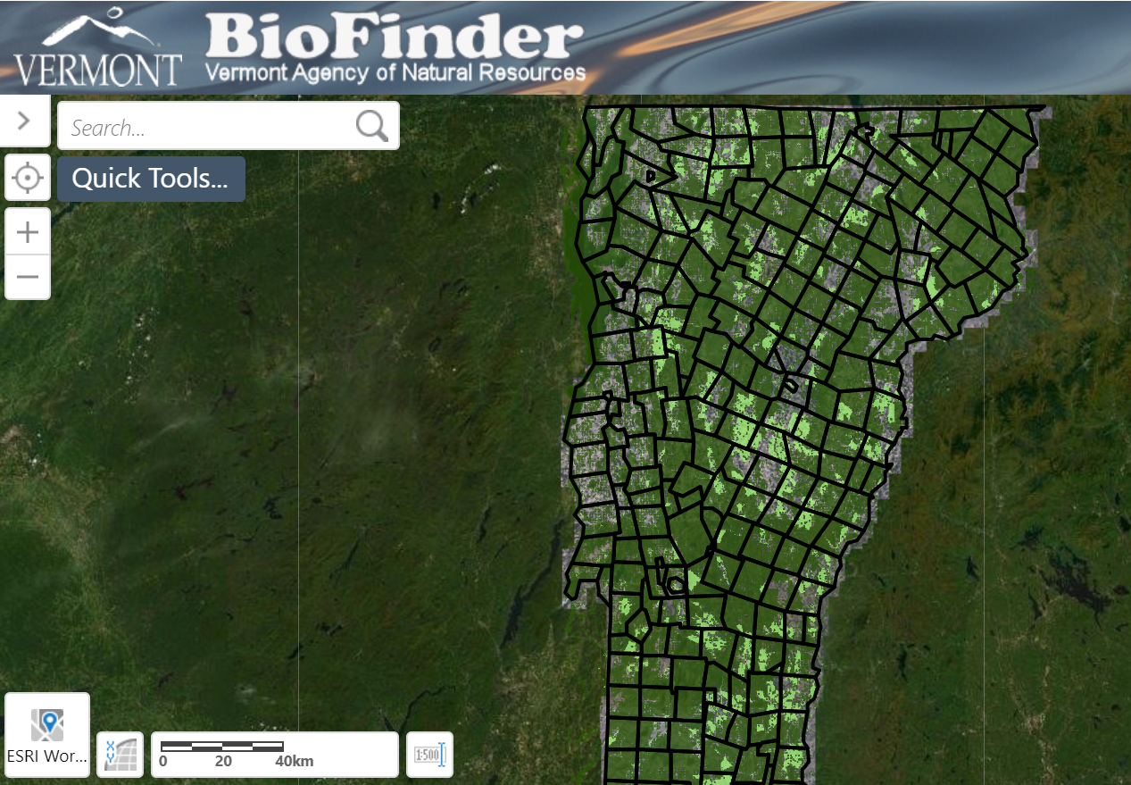
Do you wonder if land you own might be beneficial to conserve? With this online mapping interface, you can find out.
The Vermont Fish and Wildlife Department in collaboration with other partners recently released an updated version of the BioFinder Website and Mapping Tool, BioFinder 3.0. This statewide conservation planning tool helps coordinate conservation strategies across the state of Vermont by categorizing landscape features, such as forests and waterways, by ranking their importance in terms of conservation priority. Maintaining these features is necessary for supporting vital species, habitats, and ecosystems.
BioFinder was originally created in 2012. In 2016, the interface was updated to display Vermont Conservation Design landscape scale data, such as interior forests, connectivity blocks, and physical landscape diversity. The most recent update, released in January 2020, now displays all the Vermont Conservation Design data including the community and species scale components and conservation targets. It was produced by the Vermont Agency of Natural Resources’ BioFinder/Vermont Conservation Design Team: Eric Sorenson, Robert Zaino, Jens Hilke, Monica Przyperhart, and Erik Engstrom.
This new version separates datasets into Landscape Components (networks of waterways, forests, and other landscape features that support most species), Community and Species Components (features that support natural communities and specific habitats/species), and Conservation Targets (management goals for forests and grasslands).
The latest data update included Natural Communities and Habitats, a new addition to the interface, enabling users to focus more directly on community and species level conservation efforts within a larger geographic area. Previously, entire components were categorized as areas of “Priority” or “Highest Priority.” A more refined dataset allows users to make better informed decisions when utilizing the tool.
Greater precision means more direct and species-specific conservation efforts. The overarching goal of the mapping interface is to maintain, protect, and improve Vermont’s natural lands for the future.
Throughout this expert-driven process, the team analyzed physical landscape diversity across the state, propelling the state toward climate resilience by identifying places that currently support or have potential to support biological diversity with the goal to maintain, restore, or enhance ecological functions in these places. Vermont Conservation Design offers a depiction of what Vermont lands should look like in the future and where prioritization needs to occur to maintain the land for the future.
Management tools can be applied to specific on-the-ground areas for conservation efforts with support from prioritization filters within the mapping interface to help inform conservation oriented decisions. Since locations of ecological priority are identified on the map, users can make informed decisions about which places are suitable for development and which should be locations of focus for conservation.
BioFinder 3.0 is a tool for the conservation community as well as the general public to learn more about high priority conservation areas in Vermont. This tool can be used in the land use planning process to inform development decisions, in the transportation sector to determine where to invest in bridges and culverts or to analyze road networks and crossings, as well as in the public sector to access information about locations of high diversity and ecological function that will be of importance for the state’s efforts towards climate resilience. While not a regulatory tool, BioFinder and Vermont Conservation Design strive to direct conservation planning across the state among various stakeholders.
To read more about each data/mapping component and BioFinder 3.0, read the BioFinder 3.0 Development Report, and view the map.