 ecoNEWS VT
Mapping the Depth of Lake Champlain
Oct. 6th 2021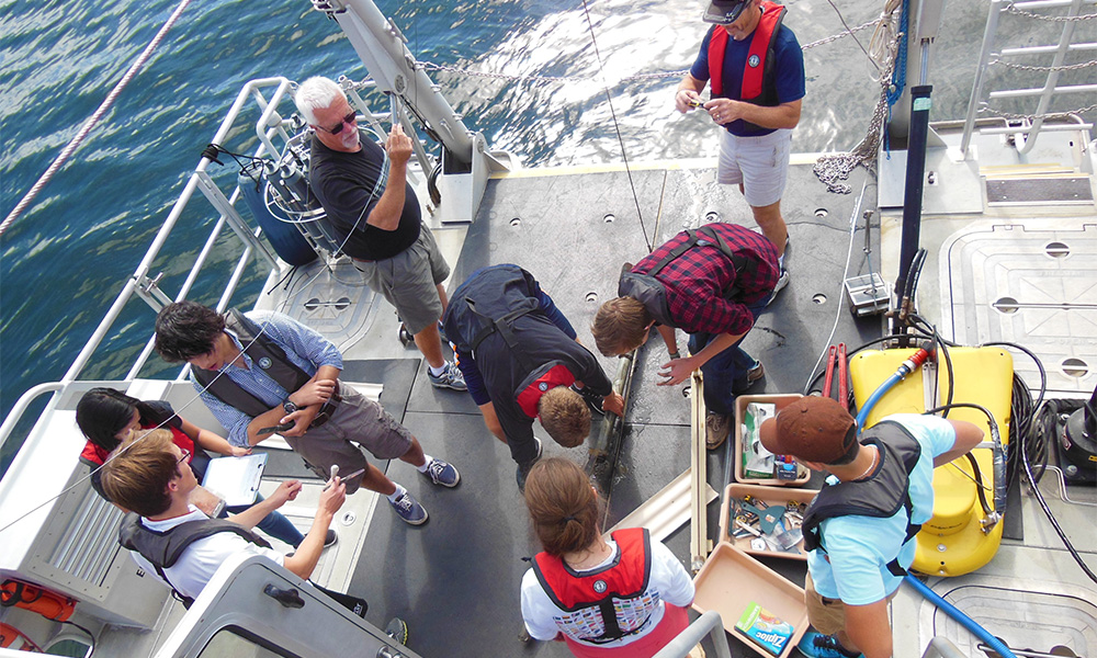
Measuring the depth of water in oceans, rivers, or lakes is called “bathymetry.” Bathymetric maps look much like topographic maps, which use lines to connect points of equal elevation. On bathymetric maps, the lines connect points of equal depth.
A researcher and crew at Middlebury College in Vermont are using bathymetric technologies to develop a map of the depths of Lake Champlain. From 2012 to 2020, on board the College’s research vessel, the David Folger, Professor Tom Manley along with Captains Richard Furbush and Tom Beardsley are using multibeam technology to measure the depth of Lake Champlain in four different regions: Main Lake, Inland Sea, Mallets Bay, and Missisquoi Bay. Although not yet completely finished with the measurements, Manley has posted a bathymetric map on the Lake Champlain Basin Program website.
The map shows the depth detail of the lake spanning the time period of June 1, 2013 to November 1, 2020. Due to the large variation in depths within Lake Champlain, four separate depth scales were used on the map to enhance the local relief of each of the four regions.
Lake Champlain’s greatest depth is 400 feet, just north of the Thompson’s Point/Split Rock area in the Main Lake, while the Inland Sea region is up to 164 feet deep. Mallets Bay is less than 104 feet deep, whilce Missisquoi Bay is consistently less than 12 feet deep.
The multibeam system used by Manley on the R/V Folger works like an advanced fish finder and is equivalent to 512 fish finders operating simultaneously. Newer multibeam systems have up to 2048 individual beams.
Although the system is very complex, the concept is simple in that a sound pulse goes out to the lake bottom from the instrument’s sonar projector mounted on the side of the boat. The reflected sound pulse is then recorded by an array of 512 underwater receivers (each aligned at a different angle) on the boat. Half of the receivers are listening for returns at various distances away from vessel’s port (left) side while at the same time, the other 256 receivers are doing the same on the starboard (right) side.
The researchers then calculate depth measurements from the time it took from emission of the sound pulse to when it was received back. Other information used in the calculation include the receiver’s angle away from the boat, a profile of sound velocity, continuous high precision GPS measurements, and the motion of the ship. Complex equations using these data provide very precise depth measurements below and away from the boat.
“Lake depth mapping is a valuable component to lake research, education, management, and recreation as well as in future planning and development of the Lake Champlain basin,” said Manley, who has involved hundreds of students in this mapping project as part of classes, senior theses, and summer research programs.
Researchers can use the depth map in hydrodynamic modeling of the lake and in studies of water chemistry, phosphorus, and other pollutants; circulation and flow; sediment movement; and more. Depth measurements also help municipalities and utilities in locating where to install intake and outlet pipes.
Besides lake management and research, depth measurements and mapping are important to first responders, such as the U.S. Coast Guard and state police, for boat emergencies and recoveries. The Lake Champlain Maritime Museum can use the data in their exploration of historic shipwrecks. Manley, Furbush, and Beardsley have also worked with the Museum and other partners to conduct a bathymetric survey of Seneca Lake in New York state and to chronicle the lake’s underwater landscape and cultural heritage, including shipwrecks.
In addition to estimating depths, the multibeam signal gets modified by what it hits on the lake bottom, so researchers can tell what material might make up the bottom substrate. Newer multibeam systems can better categorize bottom substrates more consistently. This will advance research, for example, to understand phosphorus in the lake, as clay better holds onto phosphorus. For fisheries research and management, substrate data can help to identify which species can use the habitat—rocks, gravel, sand, weeds, even zebra mussels—for spawning grounds.
This year, Manley and Beardsley had the opportunity to demo one of the newer multibeam units. They hope to find financial support to upgrade their technology and to better enhance research on Lake Champlain and other lakes in the basin.
The Lake Champlain depth data will be publicly available when post-processing is completed.
Learn more about lake bottom data collection on the Lake Champlain Basin Program website or learn more about multibeam technology and see examples of the data it provides on Instagram and Facebook @RVFolger.