 ecoNEWS VT
Understanding How Climate Change Will Impact Streamflow in the Lake Champlain Basin
May. 18th 2015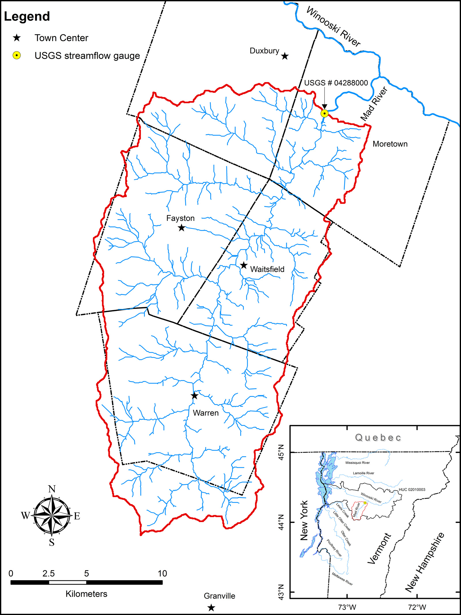
The Northeastern United States has experienced increase in precipitation over the past several decades, and this increase is predicted to continue. The change observed in precipitation is affecting streamflow by producing earlier spring flows during snowmelt and uniform flows later in the spring. Baseflow during the summer has also increased.
Future climate scenarios are generated by feeding global climate models with historic data such as precipitation and temperature, meteorological variables, and estimates of future greenhouse gas concentration behavior. These climate scenarios are generally used in determining global climate patterns. However, a need for understanding the impact of such global climate patterns on a regional scale exists to aid local decision makers in developing plans at the state or a local level.
To develop regional climate scenarios, global climate scenarios are often “downscaled,” in which global climate model data is modified. However, downscaling is not always accurate. The credibility of downscaled climate data in accurately representing local future climate needs to be assessed before providing decision makers with guidance.
Researchers from the University of Vermont, Ibrahim N. Mohammed, Arne Bomblies, and Beverley C. Wemple, assessed the capability of commonly used downscaled global climate data at a regional scale. The focus of the research was on the Mad River hydrology and expectations of future flooding. A watershed model was developed and observed streamflow data was used to calibrate the Mad River watershed model.
Downscaled climate data obtained from the Coupled Model Intercomparison Project (CMIP5) were assessed with actual observed data during 1951-2005. The downscaled global climate data did not produce results that were consistent with the local observations, primarily under-estimating precipitation and hence streamflow. The downscaled climate data products tested did not prove to be useful tools for decision-makers planning for future flooding and climate change scenarios impacts.
By analyzing the capability of the downscaled climate data to determine how accurately they represent a regional area, the researchers were able to identify and adjust suitable downscaled climate model data to predict future streamflow scenarios.
Accurately predicting future streamflow regimes is important to understanding future aquatic habitat, non-point pollution, and flooding possibilities. A changing streamflow regime may impact aquatic habitat for fish. Nutrient runoff into rivers is of a great concern in the Lake Champlain Basin as harmful algal blooms increase. Moreover, flooding has had devastating consequences at the State of Vermont in recent years.